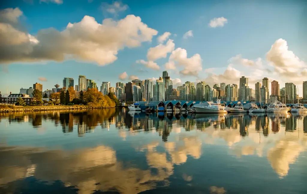
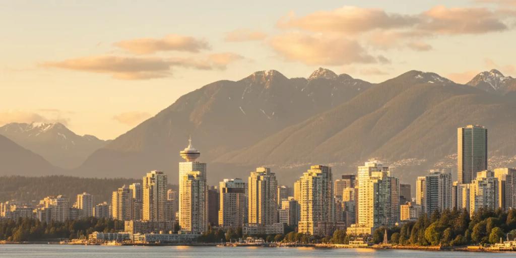
In the city itself, Vancouver is a solved problem: Rogers, Bell and Telus all deliver dense 4G and 5G across downtown, the SkyTrain network, Kitsilano, Granville Island and out through Burnaby and Richmond, and your travel eSIM rides one of these as its host. The twist that catches visitors is geographic. Vancouver's whole appeal is that wilderness starts at the city limits - and so do the dead zones.
Cross the Lions Gate Bridge and climb into the North Shore mountains and coverage gets honest fast. Trailheads generally have bars; mid-trail often does not - hikers regularly report dead pockets partway up the Grouse Grind and on the forested Lynn Valley and Seymour trails. Further out it is unambiguous: BC Parks states flatly that Joffre Lakes has no cell service, and the Duffey Lake stretch beyond Pemberton is quiet for long runs. Along the Sea-to-Sky Highway to Whistler, signal holds through Squamish and the towns but thins between them.
This is why the local safety ritual exists: North Shore Rescue, one of the busiest volunteer search and rescue teams in the country, spends its summers retrieving people who treated a phone as a plan. Download offline maps before leaving downtown, and tell someone which trail you are on and when you will be back - our Canadian wilderness connectivity guide covers the backcountry picture properly.
- Transit is tap-and-go: TransLink's SkyTrain, SeaBus and buses accept contactless credit and debit cards and phone wallets directly at the gate, so you can ride straight off the plane without buying anything. A Compass card (small refundable deposit) only becomes worth it for day passes and longer stays. Use the same card for every tap so transfers link up.
- Evo car share and Mobi bikes are how locals cover the gaps - both are app-only, and Evo is genuinely useful for reaching North Shore trailheads that transit serves slowly.
- Book before you drive: Joffre Lakes requires a free day-use pass (May 11 to October 25 in 2026, released online two days ahead at 7am), and it must be downloaded before you go because there is no signal at the trailhead. Popular Garibaldi trails run the same system in peak season.
- BC Ferries app for the Horseshoe Bay day trips (Bowen Island, Nanaimo) - sailings fill on summer weekends and the app shows loading status live.
The Canada Line SkyTrain runs from inside YVR to downtown in about 25 minutes, and a contactless card or phone covers the fare at the gate (expect a small add-on charged on trips starting at the airport). That ride is exactly when the accommodation directions, first map search and "landed safely" messages happen - having the eSIM installed before wheels-down makes it all a non-event.
City days here are moderate: maps, transit taps, restaurant hunting, no translation load. What inflates usage is the scenery - this city generates photo and video uploads like almost nowhere else - plus the trip-planning apps for ferries, trail passes and the weather radar you will check obsessively from November to March. For most travelers 1GB per 2 days is comfortable, with headroom if you upload every seaplane. The country-wide picture, including how the big three networks compare, is in our best eSIM for Canada guide.
There is a Vancouver uniform and you will spot it in an hour: a waterproof shell, leggings or hiking pants, and shoes that can handle a wet seawall - this is the city that invented Lululemon, and it dresses accordingly. From November to March the rain is steady drizzle rather than downpour, and locals answer it with Gore-Tex, not umbrellas; an umbrella works fine but marks you as visiting. Pack layers year-round: a July day can span a cool morning seawall, a warm Kitsilano afternoon and a cold mountain summit.
Ride or walk the Stanley Park seawall counter-clockwise in the last hour of light - the stretch past Prospect Point frames the Lions Gate Bridge with the sun low behind it. At Granville Island, shoot the market haul first, then catch a tiny Aquabus across False Creek for the skyline-from-the-water angle. For the suspension-bridge shot, Capilano is the famous one but charges steep admission; Lynn Canyon, twenty minutes away, has a free suspension bridge over a proper gorge - the standing local tip. (The Quarry Rock lookout above Deep Cove is currently closed for trail repairs, so check the District of North Vancouver site before building a day around it.) End at Kitsilano Beach at sunset, where the mountains stack behind the swimmers, or watch seaplanes land from the convention centre's waterfront deck.
Vancouver's founding exports are an odd pair: both Greenpeace (1971) and Lululemon (1998) started here. The 28 km Seaside Greenway, from the convention centre to Spanish Banks via the Stanley Park seawall, is claimed as the world's longest uninterrupted waterfront path. The city moonlights as "Hollywood North" - among the biggest film and TV production hubs in North America - and the 2010 Olympic cauldron still stands at Jack Poole Plaza.
A local heads-up: the long-running Honda Celebration of Light fireworks competition was cancelled, and for 2026 the city is staging a free one-night replacement, Summer Lights in English Bay, on July 31. The BMO Vancouver Marathon takes over the seawall route in early May, the Fair at the PNE runs from late August into Labour Day weekend, and Dine Out Vancouver makes January and February the cheapest time to eat well here. Best of all, Vancouver has its own Cherry Blossom Festival - March 27 to April 17 in 2026 - when tens of thousands of trees turn whole streets pink.
The love is the frame: mountains, ocean and a walkable glass city in a single photograph, sushi that embarrasses most of North America, and skiing and beach volleyball available in the same day. The complaints are equally local. The November-to-March grey is relentless in a way the "mild winters" line undersells, and some visitors find the city subdued in the drip. Everything is expensive - Canada's priciest housing market is the default small talk - and restaurant bills grow fast once tip prompts start at 18 percent. And the Downtown Eastside, blocks from Gastown, is an area of visible poverty and a serious drug crisis; it is not a danger zone to fear, but it is a reality of the city that polished travel content tends to omit.
At most trailheads, yes; on the trail, do not count on it. Grouse, Seymour and Lynn Valley routes all have dead pockets under the forest canopy, and destinations like Joffre Lakes have no service at all. Download offline maps and your park passes in the city, and leave a trip plan with someone - that is standard North Shore practice, not tourist paranoia.
Yes. TransLink accepts contactless credit and debit cards and mobile wallets at SkyTrain and SeaBus gates and on every bus, so a working phone is literally your transit ticket. That is one more reason to have your eSIM installed and tested before you fly rather than sorting connectivity after landing.
Mostly. The Sea-to-Sky Highway has coverage through Squamish, Whistler and the settlements, with thinner patches on the empty stretches between them - fine for a supported drive, not something to bet a meetup pin on. Past Pemberton toward Joffre and Duffey Lake, assume nothing: download everything first.