Cosmote, Vodafone and Nova cover Samos, and your eSIM uses whichever reaches the valley you are in. Greece is in the EU, so roaming carries no surcharge. Our Rhodes guide covers the network-hopping that happens on islands this close to the Turkish coast, and it applies here - Samos sits under two kilometres from Turkey at the narrowest point, the closest any Aegean island comes to the mainland. What Samos has that no other island does is a hole through a mountain, dug from both ends, twenty-six centuries ago.
This is one of the genuine wonders of the ancient world and it receives a fraction of the visitors it deserves.
In the sixth century BC, the tyrant Polycrates needed water brought into his capital from a spring on the far side of Mount Kastro.
The engineer Eupalinos drove a tunnel straight through the mountain - roughly 1,036 metres of it - to carry the aqueduct.
He dug from both ends simultaneously. Two teams, starting on opposite sides of a mountain, working towards each other underground with no instruments beyond geometry and surveying by line of sight over the top.
They met in the middle. The alignment error was small enough that the join is a slight dogleg rather than a miss.
Herodotus described it as one of the three greatest engineering works of the Greek world, which is how we know the names.
And you can walk it. A substantial length of the tunnel is open to visitors, lit and railed, and walking into a hole cut by hand before the Parthenon existed is a strange and quiet thing to do on a beach holiday.
Book ahead in season - entry is limited and timed - and note that it is narrow, cool and not for anyone badly claustrophobic.
It is UNESCO-listed together with Pythagoreio and the Heraion, the great temple of Hera on the coast a few kilometres away.
For an island of thirty thousand people, the intellectual output is disproportionate.
Pythagoras was born on Samos, and the harbour town of Pythagoreio is named after him - there is a statue on the mole holding the right angle.
Aristarchus of Samos proposed a heliocentric model of the solar system in the third century BC, some eighteen centuries before Copernicus, and was largely ignored.
Epicurus grew up here too, though he was Athenian by citizenship.
The Heraion was one of the largest temples in the Greek world, close to three times the footprint of the Parthenon. One column stands. Its scale is easier to appreciate from the ground plan than from the ruins.
Pythagoreio's harbour mole is the original ancient one, still in use, which is the third of the works Herodotus praised.
Muscat of Samos is a protected designation of origin and has been famous for centuries.
It is grown on terraces up Mount Ampelos, some of them at serious altitude and worked by hand because nothing else can reach them.
It is mostly sweet - the classic Samos wines are fortified or naturally sweet Muscat - though drier styles are made now.
Byron mentioned it, which the island has not forgotten.
The cooperative in Malagari, near Vathy, runs tastings and a small museum, and it is the easiest introduction.
Samos is unusually green for a Greek island - forested mountains, springs and terraced valleys - which is why the wine works and why the walking here is good.
The main towns are well covered - Vathy, Pythagoreio, Kokkari and the coast road.
The mountains are the gap. Mount Kerkis in the west, at over 1,400 metres, and the Ampelos range thin out on the trails and in the valleys between villages.
In the Eupalinian tunnel, obviously nothing, which is worth knowing if you are meeting someone afterwards.
The northwest villages - Manolates, Vourliotes - are covered in the settlements and patchy on the roads between.
On boat trips to the islets and along the coast, service holds close in.
Near the Turkish coast, your handset may register on a Turkish network - Turkey is a separate roaming zone and this is the one genuine bill risk on Samos. Our Rhodes guide covers the mechanism in detail.
Samos has been one of the main arrival points for people crossing from Turkey to the EU, and there is a large closed reception facility on the island.
It is part of the island's recent history and it remains present.
It does not affect an ordinary visit - the facility is outside Vathy and away from the tourist areas - and the beaches, villages and sites are entirely unaffected.
Local opinion is complicated and worth listening to rather than pronouncing on, if the subject comes up.
Aid organisations operate on the island, and some visitors choose to support them.
- A ferry app or the operator sites - Samos connects to Athens, the other eastern Aegean islands and, seasonally, to Kuşadası in Turkey.
- Maps with offline copies for the mountain villages and the walking routes.
- A booking site for the tunnel, which has timed entry and limited capacity.
- A translation app is optional. English is widely spoken in tourism.
- Cards work in the towns; carry cash for village tavernas and the smaller beaches.
Samos International (SMI) is near Pythagoreio, small and seasonal, with charter flights from across Europe in summer and domestic connections through Athens the rest of the year.
Ferries from Piraeus take a long night - this is one of the more distant Greek islands from Athens.
Inter-island ferries connect to Ikaria, Chios, Patmos and the Dodecanese.
Seasonal boats to Kuşadası in Turkey take about an hour and a half, for Ephesus - and note the roaming implications above, plus the visa position for Turkey.
Hire a car. Buses exist but are infrequent, and the island's pleasures are the mountain villages and the small beaches, which need your own transport.
Very little. EU visitors are on their home allowance, the towns are covered, and this is a slow island. Download offline maps for the mountains and you are done.
Walking shoes. Samos is a hiking island as much as a beach one, and the village paths are stony.
A layer for the mountains, which are considerably cooler than the coast.
Something warm for the tunnel, which sits at a constant cool temperature regardless of the August outside.
Reef shoes for the pebble beaches.
Modest cover for monasteries - shoulders and knees, wraps usually available.
Nothing formal. Samos is an unpretentious island and dresses accordingly.
Inside the Eupalinian tunnel, looking down the lit passage into the mountain.
Pythagoreio harbour in the evening, with the boats and the ancient mole.
Kokkari, the fishing village on the north coast, with its pebble beach and headland.
Potami waterfalls, reached by a short walk through a gorge from the beach.
The single standing column of the Heraion, with the temple's footprint around it.
Manolates, a mountain village of stone lanes and bougainvillea with the sea far below.
Mount Kerkis from the west coast, which is one of the highest peaks in the Aegean.
Seitani beaches, reachable only on foot or by boat, on the northwest coast.
The Eupalinian tunnel was dug from both ends and met in the middle, using sixth-century BC surveying, and it is still walkable.
Aristarchus of Samos put the sun at the centre of the solar system around 270 BC, roughly eighteen centuries before Copernicus reached the same conclusion.
The Heraion's footprint was close to three times the Parthenon's, and one column of it remains standing.
Samos is separated from Turkey by about 1.6 km at the Mycale strait, the narrowest gap between Greece and the Turkish mainland.
Samian Muscat has a protected designation of origin and the vineyards run up terraced mountainsides to considerable altitude.
And the island is one of the greenest in the Aegean, with forests, springs and running water in a sea where most islands have none.
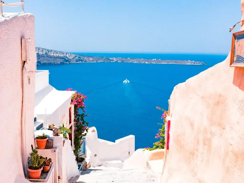
The summer season, June to September, when the charter flights run and the coast fills modestly - Samos is never crowded the way Santorini is.
The wine festival at Vathy in August.
Greek Orthodox Easter, which in the mountain villages is genuinely local.
May, June, September and October are the best months here - warm, green and quiet, with the walking at its best.
Winter is wet and largely closed, with limited flights.
The love: Samos gives you a green, mountainous, unhurried Greek island with a genuine archaeological headline that almost nobody visits, some of the best walking in the Aegean, good wine with a real history, and beaches that never fill. It is a fraction of the price of the Cyclades, the villages are lived-in rather than restored for visitors, and the island is large enough that you can spend a fortnight without repeating yourself.
The complaints are consistent. It is far from Athens - a long ferry or a connecting flight. You need a car, and the mountain roads are narrow and winding. The beaches are pebble rather than sand. There is no nightlife to speak of outside Pythagoreio in August. And it lacks the postcard whitewash of the Cyclades, which is either the point or the disappointment depending on what you came for.
Come in June or September, hire a car on arrival, book the tunnel before you fly, and spend an evening in Manolates rather than on the coast.
It can. Samos is about 1.6 km from the Turkish mainland at the narrowest point, the closest any Aegean island comes to it, and handsets do register across the strait. Turkey is a separate roaming zone and this is the one real bill risk here. Our Rhodes guide explains the mechanism and how to lock it out.
Yes. A substantial stretch of the Eupalinian aqueduct is open, lit and railed, and it was dug through the mountain from both ends in the sixth century BC. Entry is timed and capacity is limited, so book ahead in season. It is narrow and cool, and not comfortable for anyone badly claustrophobic.
Effectively yes. Buses are infrequent and the island's best parts - the mountain villages, the northwest beaches, the wine terraces - need your own transport. Roads are narrow and winding but in good condition.
In the mountains: the Kerkis and Ampelos ranges thin out on the trails and between villages, and the walking routes have gaps. The towns and the coast road are well covered, and the tunnel has nothing at all, which is worth knowing if someone is waiting for you outside.